Why OneLog
GeoServices is a geotechnical firm. OneLog is the exploration software we use on our own jobs — classified at the hole, not typed into a spreadsheet after the fact. OneLog is geotechnical exploration software for field loggers, laboratory technicians entering index tests, and the engineer. Results come into the same job file. Field: classify at the hole (moisture, USCS, inclusions, odor). Lab: moisture, #200, Atterberg by kind into the same job file.
- Built by a geotechnical firm for its own explorations. Description order, USCS, and report format follow how the office stamps a Geotechnical Data Report.
- Classified at the hole. Pictorial ASTM D2488 — moisture, USCS and topsoil, inclusions, odor. Same as last. Firm defaults (hammer, auger, logged-by, sampler) can be configured per drill crew. Tab a date, the month grid opens.
- No retyping for the report. Field logging, laboratory data, and the engineer’s GDR are the same job file. Cover, plan, logs, elevation-true 2-D with pinch-out, orbiting 3-D fence.
- Job files stay with the firm. The trial is time-boxed. Not a public log.
- Fill from a job list. Project, client, location, billing. Drop an Excel or CSV on Project. Accounting login is not required.
- Site and analysis in the same job. Pin from a Minnesota address. USGS topo, MnTopo 2 lidar, MHAPO air photos, the firm atlas. Assumed unit weight, friction angle, and undrained strength from the log and the lab, with citations. Analysis, not a stamped design.
- Ready to log. Open the demonstration. Then the seven-day trial. Call the office.
Visual-manual classification
ASTM D2488 pictorial selectors — moisture, USCS and topsoil, inclusions, odor. Same as last copies the previous interval. Firm defaults (hammer, auger, logged-by, sampler) can be configured per drill crew. Tab into a date and the calendar opens. Descriptions are not typed from a blank grid.
Sample photography
Photograph each sample and exploration. Spoon / scale chips (18 in SPT, 24 in SPT, Shelby 3 in, or custom inches in the frame) set the recovery ruler. Coordinates, color, and recovery transfer to the printed log. The photograph prints beside the interval, not over the description. From the image, OneLog suggests color, recovery, and a potential USCS group or subgroup. Spoon / scale in the frame sets the recovery ruler. Suggestions wait for Apply. Photo GPS can fill hole coordinates.
Laboratory index tests
Moisture, minus two hundred, and Atterberg live in OneLog. Tap a sample, enter pan weights for index tests. Index results come into the same job file.
One job file
Borings, test pits, and rock core. Laboratory data and the engineer’s GDR from a single record: cover, location plan, logs, elevation-true 2-D cross sections with pinch-out, and an orbiting 3-D fence diagram.
Site maps
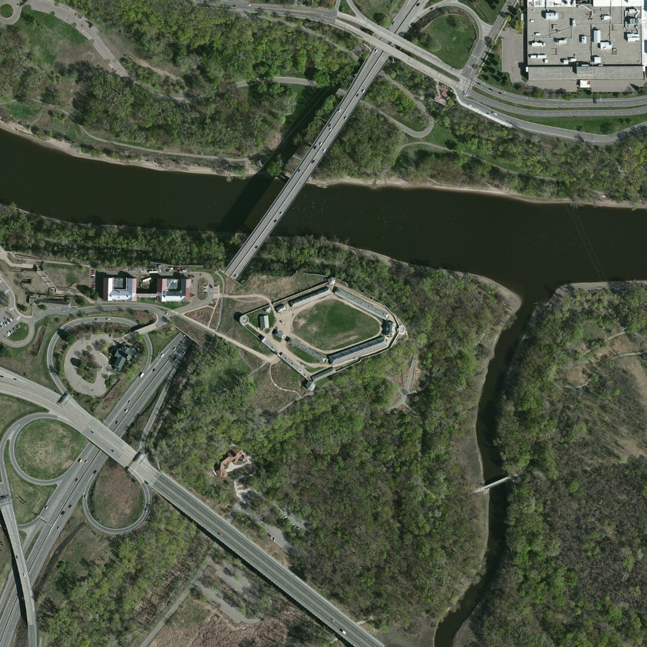
Pin a job from a Minnesota site address or by clicking the overview map when there is no hole GPS. Topography, MnTopo 2 lidar hillshade at the selected site, MGS D-01 surficial geology, historical aerials, CWI / Minnesota Well Index (MWI) wells and water. Cached facts and geology polygons paint on first open, then refresh. FeatureServer requests abort at eight seconds; official GIS remains the fallback. The firm atlas draws every stored hole with GPS — tap a pin, then Open log. Site lists MHAPO air photos at the pin by decade (1920s–2000s); official MHAPO if a scan will not draw.
Connected software
Fill from job list is live in the trial. Export the job list from accounting or Microsoft 365 Excel and drop it on Project — Project No, Client, Location, and billing codes fill without retyping. Accounting login is not required.
Preliminary analysis
Live in the trial. Select the structure type: shallow foundation, deep foundation, retaining wall, road / pavement, or bridge foundation. Assumed parameters from log and lab — γwet, φ, Su, Es — use published correlations and typical-value tables, with citations when sources differ. Required inputs are listed. If a value is not known, pick the standard assumption — labeled assumed. Preliminary settlement, bearing capacity, and lateral checks. Analysis includes preliminary flexible (MnPAVE-style) and rigid (MnPAVE-Rigid-style) pavement thickness from boring subgrade and traffic inputs; not a stamped MnDOT design. Open PavementDesigner.org (https://www.pavementdesigner.org/) and paste a slab thickness as external. Analysis, not a stamped design. OneLog cannot run MnPAVE and is not PavementDesigner.
Configured to practice
Adapted to each firm and the region in which they work. Description order, USCS, exploration methods, map layers, and report format may be modified to your standards.